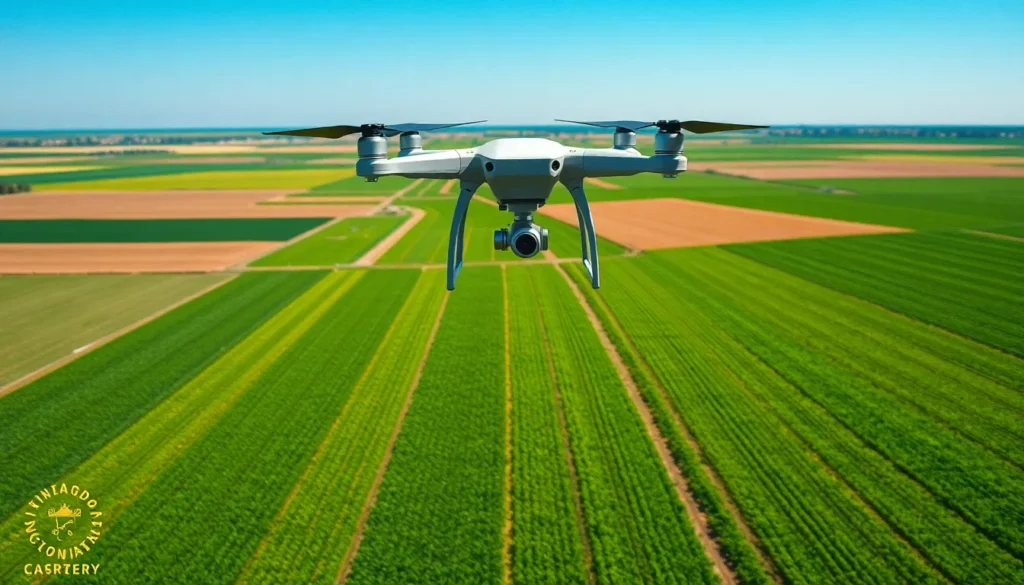
Drone mapping is revolutionizing the way industries approach surveying and data collection. By harnessing the power of aerial technology, professionals can now capture high-resolution images and create detailed maps in a fraction of the time it once took. This innovative technique offers unparalleled accuracy and efficiency, making it an invaluable tool for sectors like agriculture, construction, and environmental monitoring.
As the demand for precise geographic information grows, drone mapping stands at the forefront of modern solutions. It not only enhances productivity but also reduces costs, allowing businesses to make informed decisions backed by reliable data. With its rapid advancements and increasing accessibility, drone mapping is set to transform the landscape of spatial analysis and project planning.
Overview of Drone Mapping
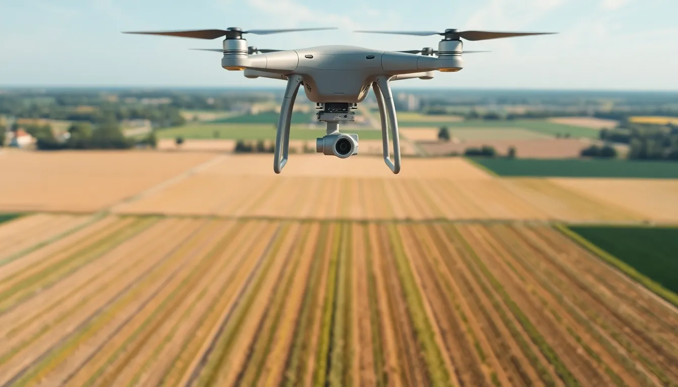
Drone mapping utilizes unmanned aerial vehicles (UAVs) equipped with advanced imaging technology to capture geographical data. This method significantly enhances traditional mapping techniques, offering benefits such as speed, accuracy, and cost efficiency.
Drone mapping integrates photogrammetry and geospatial analysis to produce high-resolution aerial imagery, enabling users to generate orthophotos and 3D models. These outputs support various applications across sectors, including:
- Agriculture: Farmers utilize drone mapping to monitor crop health and manage field variability.
- Construction: Contractors employ this technology for site surveys and project progress tracking.
- Environmental Monitoring: Researchers access real-time data to assess natural resources and track environmental changes.
With the capability to cover vast areas quickly, drone mapping provides timely information for decision-making in land use, urban planning, and disaster response. As drone technology advances, its applications continue to expand, offering unprecedented opportunities for innovation and efficiency in mapping practices.
Benefits of Drone Mapping
Drone mapping offers significant advantages that impact various industries, including enhanced accuracy, efficiency, and cost-effectiveness.
Enhanced Accuracy and Efficiency
Enhanced accuracy stems from the use of high-resolution imaging technology in drone mapping. Drones capture images from multiple angles, ensuring precise data collection. This technique minimizes human error and accelerates data processing, which leads to reliable outcomes. Efficiency increases as drones cover large areas quickly. For example, a single drone flight can map 100 acres in less than an hour, while traditional methods could take days or weeks. The ability to collect and analyze data rapidly supports timely decision-making in agriculture, construction, and environmental sciences.
Cost-Effectiveness
Cost-effectiveness represents another key benefit of drone mapping. Traditional surveying methods, which often require extensive manpower and equipment, incur higher operational costs. In contrast, drones operate with lower overheads and reduced labor requirements. For instance, drone surveys can cut costs by up to 75% compared to traditional ground surveys. This financial advantage allows businesses to allocate resources more effectively, investing savings in other critical areas. Additionally, the speed of drone mapping minimizes downtime, further enhancing profitability in various sectors.
Applications of Drone Mapping
Drone mapping serves critical roles across various industries, providing accurate data collection and analysis capabilities that enhance operational efficiencies. Key applications include agriculture, construction, and environmental monitoring.
Agriculture
Drones utilize high-resolution imaging to monitor crop health, analyze soil conditions, and map field variability. Farmers assess crop growth patterns and identify issues such as pests and diseases using aerial imagery. This data-driven approach leads to informed decisions in precision agriculture, maximizing yield while minimizing resource usage.
Construction
In construction, drone mapping streamlines site surveys and progress tracking. Contractors capture images of project sites to create real-time 3D models and maps, enabling effective planning and resource allocation. Surveys conducted via drone can drastically reduce the time required for data gathering, completing extensive evaluations within hours rather than days.
Environmental Monitoring
Drone mapping benefits environmental monitoring by delivering timely, accurate data for resource assessment and management. Researchers employ drones to capture imagery for analyzing land use changes, assessing environmental impacts, and monitoring wildlife habitats. The ability to gather data quickly and efficiently supports sustainability initiatives and enhances responsive measures to ecological challenges.
Challenges in Drone Mapping
Drone mapping faces several challenges that can impact its effectiveness and implementation across various sectors. Understanding these hurdles aids in optimizing operational strategies and ensuring compliance with industry regulations.
Regulatory Issues
Drone mapping operates within a complex regulatory landscape. Federal Aviation Administration (FAA) regulations dictate operational limits, such as altitude restrictions, no-fly zones, and flight permissions. These regulations can vary significantly by region, necessitating thorough research and compliance checks before each flight. Operators may experience delays in obtaining necessary licenses or approvals, which can hinder project timelines. Additionally, privacy concerns arise with aerial data collection; operators must navigate laws regarding data capture to avoid legal repercussions. Adhering to these regulations is crucial for maintaining operational integrity and mitigating legal risks.
Technical Limitations
Drone mapping technology carries inherent technical challenges. Environmental factors, such as wind, rain, and lighting conditions, can affect data quality and flight stability. GPS signal loss in dense urban areas or forests poses another significant hurdle, leading to inaccurate positioning and mapping errors. Furthermore, drones have weight and battery life limitations, restricting the payload capacity for advanced sensors or equipment. This limits the resolution and scope of data capture. Processing and analyzing large datasets from drone imagery also requires robust computational resources and software expertise, which might not be readily available to all operators. Addressing these technical limitations is essential for maximizing the potential benefits of drone mapping technology.
Future Trends in Drone Mapping
Emerging innovations will shape the future of drone mapping, enhancing its capabilities and applications across various industries.
Increased Integration with AI and Machine Learning
Drones will increasingly incorporate artificial intelligence (AI) and machine learning algorithms. These technologies allow for advanced data processing and analysis, automating processes and improving accuracy in mapping tasks. For example, AI can identify patterns in agricultural data, aiding farmers in making precise agricultural decisions.
Enhanced Data Collection Techniques
Improvements in imaging technology will lead to better data collection methods. High-resolution cameras and multispectral sensors will capture more detailed information, allowing for a comprehensive analysis of landscapes. The adoption of LiDAR technology will also improve terrain mapping by providing precise 3D models.
Expansion of Autonomous Operations
Autonomous drones will become more prevalent in mapping projects. With enhanced navigation systems and obstacle detection capabilities, these drones can complete missions without human intervention. As a result, efficiency will increase, allowing for continuous data collection and real-time monitoring.
Greater Adoption in Urban Planning
Urban planners will adopt drone mapping more widely as cities grow. Drones offer rapid assessments for zoning, infrastructure development, and environmental assessments. They will play a crucial role in smart city initiatives by providing timely data for informed decision-making.
Enhanced Regulatory Frameworks
Regulatory bodies will develop clearer guidelines for drone operations. This development will simplify compliance and promote widespread use. As regulations evolve to accommodate technological advancements, drone mapping will experience accelerated growth in various sectors.
Advancements in Data Sharing and Collaboration
Interoperable data-sharing platforms will emerge, facilitating collaboration among stakeholders. This innovation will enable the integration of drone mapping data with other geographic information systems (GIS), enhancing decision-making processes in project management.
The future of drone mapping will present numerous opportunities for enhanced efficiency, accuracy, and applications across diverse industries. As technology continues to advance, its role in spatial analysis and project planning will further solidify.
Drone mapping is revolutionizing how industries approach geographic data collection and analysis. Its ability to deliver high-resolution imagery quickly and accurately makes it an invaluable tool for professionals in agriculture, construction, and environmental monitoring. The efficiency and cost-effectiveness of drone mapping not only streamline workflows but also empower informed decision-making.
As technology continues to evolve, the future of drone mapping looks promising. Enhanced imaging capabilities and the integration of AI will further refine data processing and analysis. With ongoing advancements, drone mapping is set to play a crucial role in shaping smart city initiatives and improving sustainability efforts across various sectors.